


Who we are
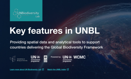
With over 1,000 of the world’s best data layers on nature, climate change, and sustainable development, UNBL supports country-led efforts to use national and global spatial data for planning, monitoring, and reporting and to take action for people and planet.
Latest updates from UN Biodiversity Lab
Stay up-to-date with insights, stories, and real-world applications of spatial data shaping biodiversity policy and decision-making across countries.
UN Biodiversity Lab
Environmental Services
3.5k Followers
Providing decision makers with the best available spatial data to put nature at the center of sustainable development.
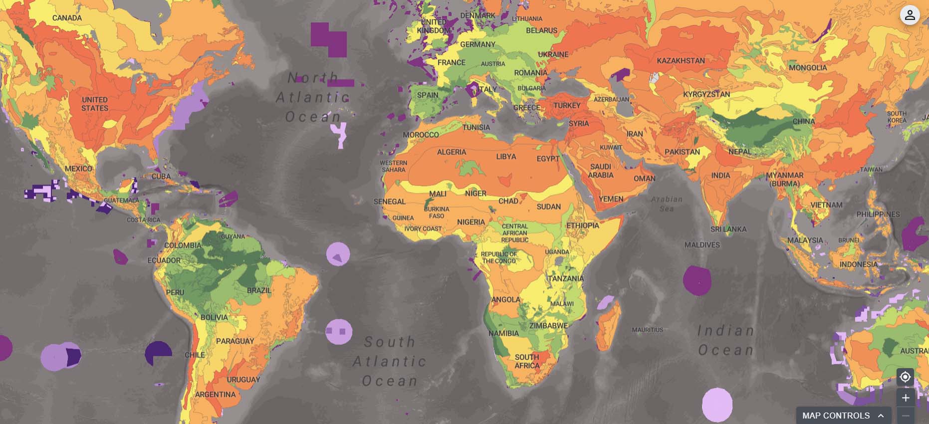
Explore the ELSA Integrated Spatial Planning Tool
The ELSA Integrated Spatial Planning Tool is now available for all countries in the world.
The new tool combines cutting-edge spatial data with systematic spatial planning tools to help countries identify priority areas where action to protect, manage, and restore nature can best support goals related to biodiversity, climate, and human well-being, with a specific focus on the Kunming-Montreal Global Biodiversity Framework. The ELSA Integrated Spatial Planning Tool is freely available upon request on UNBL for all countries.
Discover UNBL data collections
Explore popular data collections that unlock the power of data to generate insights to address critical issues for nature and sustainable development.
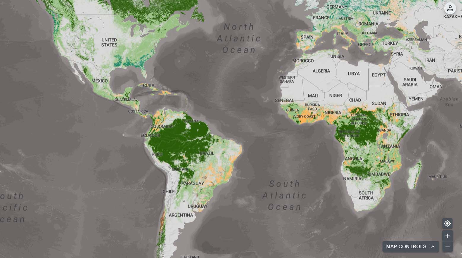
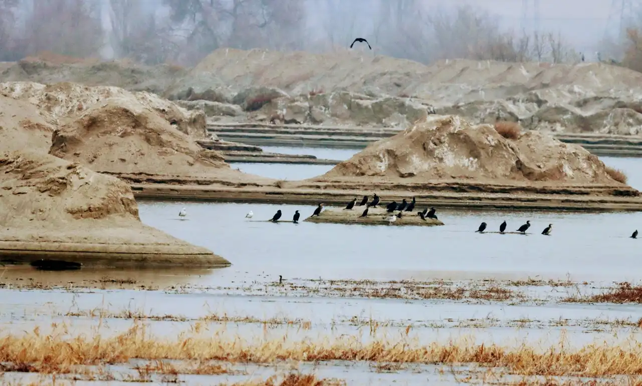
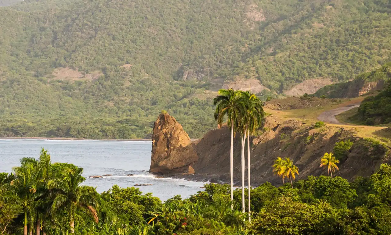
Ecosystem Restoration
Human activities on Earth have led to degradation of natural ecosystems: it is estimated that only 10 percent of the planet’s surface will remain free of direct anthropogenic impact by 2050. Restoring degraded ecosystems can result in cumulative biodiversity, climate, and livelihood benefits, making people and nature more resilient. This collection explores opportunities to restore ecosystems for the benefit of nature and people.
Access impact stories & resources
Discover how countries are turning data into action—using spatial insights to guide decisions, strengthen policies, and drive biodiversity outcomes.

UN Biodiversity Lab: 2025 Annual Report
Based on data layers from diverse sources, such as satellites, national and global science teams, and Indigenous Peoples and local communities, UNBL maps constitute a powerful resource to address the planetary crises by providing new ways to generate insight for nature and sustainable development.
This annual report presents the key activities, outcomes, and achievements of the UNBL partnership in 2025.
Related initiatives

Land and Carbon Lab
A network of researchers, technologists and engagement experts working together to build a comprehensive, open access monitoring system that will provide unprecedented transparency about what is happening to the world’s land anywhere on the planet, at any time…

Marxan Planning Platform
The Marxan Planning Platform (MaPP) supports collaboration and decision-making for biodiversity conservation and socio-economic objectives for land, freshwater and ocean systems…

NASA-supported Projects
Through two NASA-funded projects, the United Nations Development Programme (UNDP), UN Member States, and several world-class research institutions are working in partnership to provide world-class data on forests, climate change, and conservation…

SEPAL
SEPAL is an opensource project by the Open Foris team in Forestry Department of the United Nations Food and Agriculture Organization (FAO), funded by the Government of Norway…
Target Tracker
An online tool based on the headline indicators of the monitoring framework for the Kunming – Montreal Global Biodiversity Framework (Global Biodiversity Framework), to visualise progress towards each of the goals and targets of the Global Biodiversity Framework…

Trends.Earth
Trends.Earth is a free and open source tool to understand land change: the how and why behind changes on the ground. Trends.Earth allows users to draw on the best available information from across a range of sources – from globally available data to customized local maps…

WePlan – Forests
WePlan – Forests is a decision support platform for tropical and subtropical forest ecosystem restoration planning that aims to maximise the climate change mitigation, biodiversity conservation and poverty alleviation benefits arising from forest restoration…